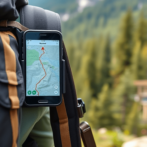
Planning a multi-day hike with Avenza Maps is the most reliable way to ensure you can navigate confidently through backcountry terrain where cell service doesn’t exist. While most hikers rely on flaky mobile apps that demand a persistent signal, Avenza transforms your smartphone into a robust wilderness GPS by utilizing geospatial PDF maps. Over a 3-5 day trek, this app helps you drop precise GPS waypoints for campsites and water sources, track your path in real time, and retrace your steps if you take a wrong turn. In 2026, the key to a successful through-hike isn’t just having the right gear—it’s having a comprehensive, pre-planned digital navigation workflow that functions entirely offline.
Selecting and Vetting Offline Maps for Your Route
Before you ever step foot on the trail, your most critical task is sourcing reliable map layers. Avenza does not use a single world map; it relies on geospatial PDFs loaded into your library. The quality of your offline map directly determines the accuracy of your GPS waypoints and your overall situational awareness.
Sourcing High-Resolution Geospatial PDFs
The Avenza Map Store offers an extensive library of maps, ranging from official USGS Topo maps to specialized trail maps created by national parks and local hiking clubs. For a multi-day hike, avoid low-resolution overview maps that lack contour lines and small trail details. Look for maps with a scale of 1:24,000 or higher (e.g., 1:15,000) so that you can see critical topographic features like ridgelines, valleys, and seasonal water crossings. Many local trail associations publish up-to-date PDFs specifically for long-distance trails, often with recent trail reroutes that official topo maps lack.
Verifying Map Accuracy and Datum
A common pitfall when planning a multi-day hike with Avenza Maps is ignoring the map’s coordinate system. Always check whether the map uses WGS84, NAD83, or a local grid like UTM. If your map’s datum does not align with your GPS receiver, your plotted GPS waypoints could be offset by 100 feet or more—a dangerous margin when navigating to a cliff edge or searching for a faint trail junction. When viewing a map’s details in Avenza, verify the datum and adjust your coordinate display settings accordingly to ensure your plotted points are correct.
Pre-Trip Waypoint Strategy: Plotting More Than Just the Destination
Dropping GPS waypoints is the core of your pre-trip planning. On a long trek, your future self will be incredibly grateful that you spent an evening meticulously plotting the route. This process turns a static map into a dynamic, navigable flight plan.
Marking Water Sources and Campsites
Don’t just mark the trails; use the “Add Pin” feature to drop waypoints on every potential water source and established campsite. A smart workflow is to use specific icons and colors for different categories. For example, set blue pins for water crossings or springs, green pins for tent sites, and red pins for emergency exits or trailhead access points. Mapping water sources is especially crucial in dry climates, where a stream shown on a 2024 map might be completely dry by summertime. Having these GPS waypoints allows you to use Avenza’s ruler tool to measure distances between water sources, helping you calculate your daily water carry needs.
Creating a Naming Convention for GPS Waypoints
When you are tired after a 14-mile day, you don’t want to fiddle with a list of 50 unorganized waypoints. Before you leave, write a clear naming convention. Use prefixes like “WTR-01”, “CAMP-02”, and “JCT-01” for water, camp, and junctions. This makes it easy to search for a specific location quickly using the app’s search function while you’re deep in the wilderness, ensuring you can focus on the hiking rather than data management.
Navigating Terrain with GPS Waypoints and No Signal
Once you are on the trail, your phone will likely be in airplane mode to conserve battery. It is a common misconception that you need cell service to use GPS. GPS satellites transmit signals directly to your phone’s receiver, independent of cellular towers. Avenza leverages this to place your live position on the offline map.
Establishing Situational Awareness
When you reach a trail junction, open Avenza and hold your phone flat for a few seconds to let the GPS lock onto multiple satellites. You will see a blue dot representing your location, and the map will orient itself based on the compass and your movement. This is far more effective than trying to coordinate a physical map and compass when you’re tired or in low-light conditions. Using the app’s “Track” feature to record your path is an essential practice for a multi-day hike. Not only does this give you a digital breadcrumb trail to follow if you need to backtrack, but you can also export this track as a KML file to share with other hikers or to archive for future trip planning.
Maximizing Battery Life on a Multi-Day Expedition
Your smartphone is a powerful GPS, but Avenza requires keeping your screen on to view the map. A blank screen means you are flying blind. Implementing strict power management is mandatory for a successful multi-day hike.
Strategic Phone Settings and Display Configuration
Set your screen brightness to the lowest possible level that remains readable, and turn off auto-brightness to prevent the ambient light sensor from unexpectedly boosting power consumption. Disable all background app refresh except for Avenza. While navigating, keep the app open but periodically lock your screen when you are walking a long, uncomplicated section of trail. Using airplane mode is non-negotiable; searching for a cell signal is one of the most significant battery drains on any smartphone. Additionally, you can download the exact map segments you need to your device before the trip. Avoid using features that require continuous screen rendering, such as live satellite imagery overlays, and stick to basic topographic layers.
The Right Power Bank Strategy
For a 3-4 day trek, you will need a 10,000mAh to 20,000mAh power bank. A 10,000mAh battery typically provides an additional 3-4 full charges for a modern smartphone, which is sufficient if you keep screen time under two hours per day. Ensure your power bank is rugged and weatherproof. To maximize efficiency, charge your phone only during rest breaks or while inside your sleeping bag, and keep your phone warm to prevent cold temperatures from rapidly draining the battery as it processes GPS data.
The 2026 Workflow: Integrating Avenza with Other Backcountry Tools
To truly dominate your navigation workflow, view Avenza as a central hub rather than a standalone tool. Modern GPS technology stacks seamlessly with other backcountry devices, creating redundancy.
Syncing with Satellite Messengers
When planning a multi-day hike with Avenza Maps, you should export your critical GPS waypoints and upload them to your satellite messenger (e.g., Garmin inReach or ZOLEO). This ensures that even if you drop your phone or the screen shatters, you still have a backup of your intended route. Furthermore, you can send your live Avenza track link to friends or family via Bluetooth from Avenza to your messenger, allowing them to monitor your progress in real time even from thousands of miles away.
Using the Avenza Web Portal for Big-Picture Planning
Planning on a tiny phone screen is tedious. The Avenza Web Portal allows you to log in on your desktop, manage your library, organize your downloaded map sets, and even sync your drop waypoints and tracks across devices. Before leaving, use the web portal to double-check your route elevation profiles and ensure your daily mileage targets are realistic for the terrain. This integrated approach ensures that your Avenza app and your external GPS backups are perfectly aligned and ready for the unpredictability of the backcountry.
Conclusion
Successfully navigating a multi-day hike without cell signal comes down to the power of preparation. By leveraging Avenza Maps to download robust offline maps, systematically dropping GPS waypoints, and integrating your phone with power-saving strategies and external backup devices, you can walk into the backcountry with absolute confidence. Remember, modern navigation is not about hoping for a signal—it’s about building a comprehensive, digital safety net using the powerful tools you already carry in your pocket.