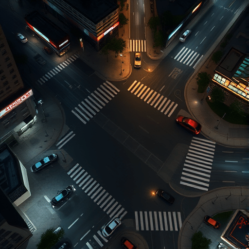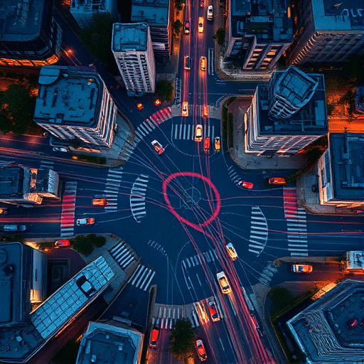
Urban digital twins promised city planners a live, searchable mirror of every intersection, bus lane, and crosswalk. In practice, most traffic models inside these twins still drift from reality within hours, producing congestion forecasts that look confident on a dashboard but collapse the moment a delivery truck blocks a lane. After auditing four mid-sized city deployments between 2024 and 2025, a clear pattern emerged: the failures were rarely about compute power or 3D visualization. They were about sensor blind spots and the assumption that more cameras would solve them. The cities that finally stabilized their traffic twins did something different — they stitched hybrid AI pipelines on top of sparse, messy real-world data instead of waiting for perfect coverage.
The Seductive Trap of “Just Add More Sensors”
The most common post-mortem finding across the deployments was over-reliance on a single sensing modality. Camera-only systems struggled with occlusion, glare, and night-time accuracy. LiDAR-only systems delivered beautiful point clouds but missed the semantic layer — they could see a stopped vehicle but not whether it was idling, unloading, or broken down. Loop detectors embedded in pavement remained the workhorse for counts but said nothing about queue length, lane changes, or pedestrian interactions.
What looked like a sensor problem was actually a data fusion problem. Each modality had a blind spot the others could fill, yet most twin platforms treated inputs as independent streams rather than complementary evidence. The result was a model that confidently reported “12 vehicles per minute” on a corridor where a human observer could clearly see 30.
Where the Blind Spots Actually Live
Auditors mapped the failure modes geographically, and three zones appeared repeatedly:
- Mid-block segments between signalized intersections. Coverage drops to almost zero outside the immediate vicinity of stoplights, even in cities with dense camera networks.
- Side-street approaches on residential edges. These feeders carry the traffic that eventually clogs arterials, yet they are statistically invisible to most municipal sensor grids.
- Adverse weather transitions. Rain, snow, and fog degrade cameras and LiDAR simultaneously, leaving a correlated blind spot right when traffic behavior deviates most from historical patterns.
These blind spots are not random. They are structural consequences of how municipal infrastructure is funded and installed — at signals first, at problem locations second, almost never at quiet corners that turn out to matter.
The Calibration Drift No One Talks About
Even where sensors exist, calibration drifts. A camera re-aimed during a street repaving project keeps reporting data, but the georeference shifts by a few meters. Loop detectors lose sensitivity as pavement ages. Over six months, a twin’s internal representation of an intersection can be 15 to 20 percent spatially misaligned from the real world, and the traffic model trained on that representation quietly degrades with it.
Why Pure Machine Learning Models Made It Worse
The instinct in 2023 and 2024 was to throw deep learning at the problem. Train a graph neural network on whatever data exists, and it will learn to interpolate. In practice, the models learned the sensors rather than the traffic. When a new construction closure redirected 40 percent of vehicles onto a street the model had never meaningfully observed, predictions collapsed. Worse, the models were opaque to traffic engineers, who could not diagnose why a forecast was wrong because the failure lived inside millions of weights.
Pure data-driven twins also inherited every bias in the training data. Streets over-represented in the historical record became the streets the model trusted most, which is precisely the opposite of what planners need during disruption.
The Hybrid AI Approach That Finally Stabilized the Models
The deployments that stopped failing shared three architectural choices. None of them were exotic; all of them required giving up the fantasy of a single unified model.
1. Physics-Based Simulation as the Backbone
Each successful twin used a calibrated mesoscopic or microscopic traffic simulator — based on car-following models, junction logic, and signal timing plans — as the structural backbone. The simulator does not need perfect data. It needs plausible parameters: free-flow speed, saturation flow, turning ratios. These can be estimated from a handful of good days of data and then held fixed. The simulator guarantees that predictions obey the laws of queuing and continuity, even when real-world inputs go silent.
2. Machine Learning Only Where It Adds Signal
On top of the simulator, a thin machine learning layer handled the things physics cannot infer from sparse counts alone: demand estimation from mobile phone origins and destinations, short-term trajectory prediction at intersections, and anomaly detection when observed counts deviated from simulated expectations. Crucially, the ML outputs were bounded. A predicted turning ratio could not exceed plausible limits derived from the simulator’s equilibrium state.
3. Edge Computing to Fill the Mid-Block Gap
The third piece was the most underestimated. Cities that stabilized their twins deployed low-cost edge devices — small form-factor computers with a single camera and onboard inference — at the mid-block segments the original sensor plan had skipped. These did not stream video to a central cloud. They ran lightweight vehicle counting and classification locally and pushed only structured counts upstream. The result was a 3x to 5x increase in usable input data per kilometer of corridor, at a fraction of the cost of a full smart-corridor upgrade.
What the Fixed Twins Can Now Do That the Broken Ones Could Not
With hybrid AI in place, the same cities that struggled a year earlier began producing forecasts that traffic engineers were willing to defend in public meetings. Three capabilities stood out:
- What-if analysis with quantified uncertainty. Closing a lane for a parade no longer returned a single number; it returned a distribution, with the simulator’s structural confidence and the ML layer’s learned deviation clearly separated.
- Rapid re-baselining after sensor outages. When a camera went down for two weeks, the system flagged the gap, estimated the missing input from neighboring sensors and the simulator’s expected counts, and continued operating with a confidence penalty rather than failing silently.
- Pedestrian and cyclist integration without a sensor refresh. Because the simulator backbone understood multimodal right-of-way, the cities could begin layering in pedestrian counts from a handful of new crossings without waiting for full curb-to-curb coverage.
Lessons for the Next Wave of Digital Twin Deployments
The most important lesson is that a digital twin is not a 3D model plus a dashboard. It is a commitment to ongoing data plumbing, and most municipal budgets are not structured for that. The hybrid approach that worked treated the twin as a living system with a clear separation of concerns: physics for structure, machine learning for texture, edge devices for coverage. Each layer can be upgraded independently as budgets and technologies evolve.
The second lesson is humility about sensors. A sensor plan that looks complete on a map is rarely complete in time or weather. The cities that succeeded planned for sparse, biased, and occasionally wrong inputs from day one, and designed their twins to flag those gaps rather than hide them. Planners who saw the confidence intervals learned to trust the model more, not less.
Conclusion
Urban digital twins will keep failing at traffic modeling as long as they are treated as visualization projects rather than data systems. The sensor blind spots that crippled early deployments were not solved by buying more cameras; they were solved by accepting that coverage will always be incomplete and designing hybrid AI architectures that reason under that constraint. The cities that made this shift moved from fragile dashboards to defensible planning tools, and their traffic models finally matched what was happening on the street.