The quest for solitude has inspired a growing interest in the quietest hikes on Earth, and today that search is becoming scientific. Using noise-pollution data, community-collected sound recordings, and smarter conservation planning, land managers and hikers can now identify and protect routes where the soundscape—wind in the trees, water over rock, bird song—dominates instead of engines and crowds. This article explains how these tools work, why they matter, and how you can both find and help preserve places of genuine silence.
Why silence matters: more than an absence of noise
Silence is not merely a lack of sound; it’s an ecological and psychological resource. Natural soundscapes are crucial for wildlife communication, predator-prey interactions, and the ceremonial rhythms of ecosystems. For people, quiet trails reduce stress, deepen attention, and create emotional connections to place. In a world of growing ambient noise, protecting routes that retain quiet becomes an act of cultural and biological conservation.
Mapping quiet: from satellite models to on-the-ground microphones
Identifying quiet trails requires data—and lots of it. The toolbox includes:
- Noise-pollution models: Geographic information systems (GIS) combine road networks, traffic volumes, and land cover to estimate ambient sound levels across landscapes. These models create broad “quietness” maps that highlight potential corridors far from urban noise.
- Fixed acoustic stations: Passive recorders placed at strategic sites capture continuous sound, offering precise measurements of dB levels and patterns over time (day/night, seasonal).
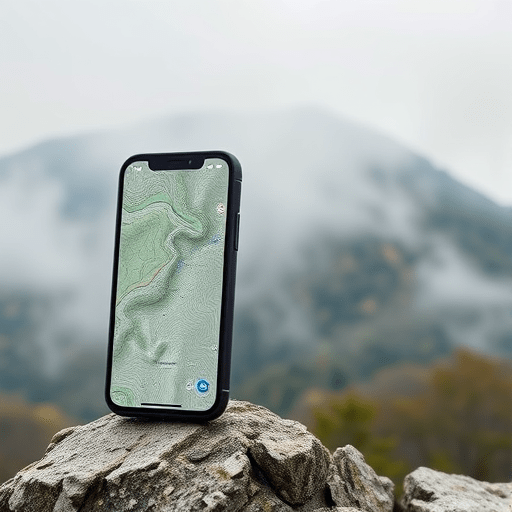
- Mobile sensors and smartphone apps: Portable microphones and apps let hikers collect short sound samples or instantaneous decibel readings tied to GPS coordinates.
- Remote sensing and travel-time buffers: Satellite-derived land-use data and travel-time algorithms show how accessible a place is—and whether accessibility correlates with auditory disturbance.
When combined, these methods produce layered maps that point to pockets of relative silence—valleys, ridgelines, or coastal stretches that remain audibly remote even if not physically inaccessible.
Citizen science: how hikers become soundscape stewards
Citizen science has democratized quiet mapping. Everyday hikers and local volunteers contribute two types of critical information:
- Geo-referenced sound recordings: Brief audio clips uploaded with location and time tags help validate model predictions and reveal intermittent noise sources (e.g., seasonal logging, summer traffic spikes).
- Observational reports: Simple surveys—“I recorded bird song here” or “I heard highway noise at 9am”—fill temporal and spatial gaps in sensor networks.
Platforms that aggregate these contributions feed open databases used by researchers and planners. Volunteers gain a new way to engage with landscapes: their recordings become evidence in the campaign to protect quiet places.
From data to policy: conservation planning for quiet corridors
Conservation agencies increasingly integrate acoustic data into management. Practical strategies include:
- Quiet zoning: Designating low-noise priority zones in park plans and limiting motorized access during sensitive times.
- Trail routing guided by sound maps: Routing trailheads and paths to avoid noisy corridors near roads or industrial sites.
- Mitigation measures: Building vegetative buffers, using low-noise surfacing for nearby roads, or timing maintenance activities to minimize disturbance.
- Designation of Quiet Areas: Official recognition where policies protect the sonic environment and interpretive signage informs visitors about the value of soundscapes.
When planners use acoustic evidence, they can preserve not just habitat, but the experiential quality that draws people to wild places in the first place.
Practical tips for finding and enjoying the quietest hikes
Want to find your own silent trail? Try these evidence-based approaches:
- Start with noise maps: Search regional quietness or noise-pollution maps—many parks and universities publish interactive layers that highlight low-noise areas.
- Look for accessibility inversely related to noise: Trails that require longer travel times or cross rugged terrain often remain quieter; remote beach coves and upper-elevation ridges are typical examples.
- Time your visit: Early mornings and weekdays generally have lower human-made noise; seasonal patterns (off-peak tourism months) also matter.
- Use crowd-sourced sound apps: Check recent user uploads to gauge current soundscapes and avoid places with temporary disturbances.
- Pack for quiet ethics: Keep devices silenced, respect other visitors’ experience, and minimize group size to preserve the soundscape for wildlife and future hikers.
What to record when you help with citizen science
- Short 30–60 second audio clips at multiple points along a trail, with GPS and timestamp.
- Notes on visible noise sources (distant road, generator, aircraft) and weather conditions.
- Optional decibel readings from a calibrated app or device, labeled with location.
Case snapshots: quiet corridors revealed
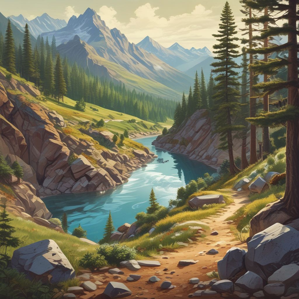
Across different countries, acoustic mapping has uncovered surprising sanctuaries: a river canyon buffered from road noise by topography; an island coastline where prevailing winds mask distant traffic; an alpine basin that remains quiet year-round thanks to restricted access. These findings have translated into targeted protection—temporary road closures during breeding seasons, new trailheads that disperse day-use pressure, and interpretive programs that explain why silence matters.
Challenges and the road ahead
Mapping quiet is not without hurdles. Noise is dynamic—affected by weather, human schedules, and development. Data gaps remain in many regions, and privacy concerns about audio recording must be handled ethically. Yet technological advances (cheaper sensors, smarter models) and growing public interest mean that quiet mapping will become an increasingly practical tool for park managers and communities.
Long-term success requires three ingredients: transparent data-sharing, meaningful public involvement, and policies that translate acoustic knowledge into protections that last.
Conclusion: As noise-pollution data, citizen science, and thoughtful conservation planning converge, hikers seeking solitude can find more reliable guidance to the quietest hikes—and communities can better defend those soundscapes for wildlife and people alike. Experience the deeper calm of a silent trail, and consider contributing a sound clip on your next trip to help protect that place for others.
Take action: Download a sound-mapping app or join a local quiet-mapping project and help preserve the world’s quietest hikes for future generations.