Satellite-Verified Impact: How VCs Use Earth Observation to Vet Climate Tech
In an era where climate claims are increasingly scrutinized, venture capitalists are turning to satellite-verified impact as a game-changing tool for due diligence. By harnessing Earth observation (EO) satellites that capture high-resolution imagery and environmental metrics, VCs can ground-truth sustainability claims in real time, uncover hidden risks, and identify breakthrough opportunities. This blend of space-based data and rigorous analytics is reshaping how investors assess the environmental performance of startups across the clean tech ecosystem.
Why Satellite Data Matters for Climate Tech Investment
Traditional impact assessments rely heavily on self-reported metrics and third-party audits—processes that can be time-consuming, costly, and sometimes opaque. Satellite imagery offers an independent, repeatable, and scalable alternative. With global coverage from commercial platforms like Planet Labs, Maxar, and PlanetScope, investors can:
- Validate Land Use Claims – Confirm that a company’s claimed reforestation or carbon sequestration projects are actually occurring.
- Track Resource Footprints – Monitor water usage, energy consumption, or emissions associated with production facilities.
- Assess Supply Chain Transparency – Verify that raw material sourcing aligns with sustainability pledges.
By integrating these data points into the investment pipeline, VCs can move beyond anecdotal evidence to hard, verifiable outcomes.
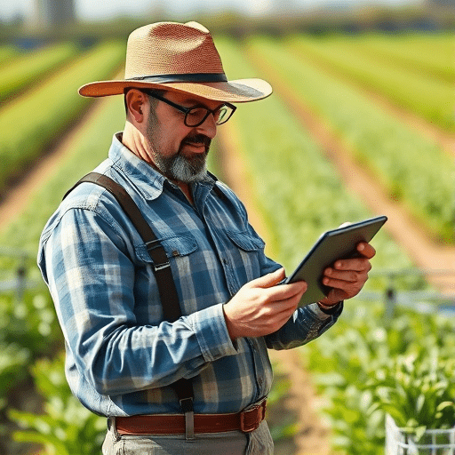
Case Study: Ground-Truthing a Reforestation Startup
Consider a startup that markets itself as a carbon-neutral agritech solution, claiming to plant 1 million trees annually. A VC partner, intrigued but skeptical, requests satellite verification. Using PlanetScope’s 3‑meter imagery, analysts overlay the company’s reported planting coordinates with actual vegetation indices. They discover that 200,000 hectares have insufficient canopy cover and that a significant portion lies within protected wetlands. Armed with this insight, the VC can negotiate stricter sustainability KPIs, demand independent audits, or decide to pass on the investment.
This concrete example illustrates how satellite data transforms due diligence from a guesswork exercise into a data-driven, objective assessment.
Building an EO-Driven Due Diligence Framework
Step 1: Define Impact Metrics
Before pulling data, investors must translate a startup’s sustainability goals into measurable, satellite-accessible indicators. Common metrics include:
- Normalized Difference Vegetation Index (NDVI) for reforestation.
- Land surface temperature for energy efficiency.
- Water body extent for irrigation practices.
Step 2: Acquire and Process Imagery
Commercial EO vendors provide APIs that allow automated ingestion of imagery and derived products. VCs often partner with geospatial data science teams or use cloud platforms like Google Earth Engine to process large datasets quickly. Automation ensures that data stays current, enabling near real‑time monitoring.
Step 3: Integrate with ESG Analytics Platforms
Once processed, satellite metrics feed into ESG dashboards—often built on platforms such as Bloomberg Sustainable Finance or Enverus. This integration lets investors visualize impact trends, compare against industry benchmarks, and generate audit-ready reports.
Step 4: Continuous Monitoring and Reporting
Unlike a one-time audit, satellite monitoring provides an ongoing view of a company’s performance. Investors can set alerts for threshold breaches (e.g., NDVI drops below 0.5) and mandate corrective actions. This dynamic oversight fosters accountability and long-term value creation.
Challenges and Mitigation Strategies
While EO offers powerful insights, VCs face hurdles such as data latency, cloud cover interference, and high subscription costs. Mitigation approaches include:
- Combining optical data with radar imagery (Sentinel‑1) to see through clouds.
- Leveraging open data repositories (USGS, NASA) for baseline comparisons.
- Negotiating tiered pricing models with vendors based on data usage volume.
By proactively addressing these challenges, investors can maintain reliable, cost-effective data pipelines.
The Future: AI, Machine Learning, and Predictive Impact Models
Artificial intelligence is accelerating the extraction of actionable intelligence from satellite data. Deep learning models can classify land cover types, predict tree growth rates, or estimate carbon fluxes with unprecedented accuracy. VCs are beginning to use these predictive tools to forecast a startup’s future impact trajectory, enabling more precise capital allocation and risk mitigation.
Moreover, the rise of AI-driven anomaly detection can flag irregularities—such as sudden deforestation spikes—allowing investors to intervene before reputational damage occurs.
Conclusion
Satellite-verified impact is redefining the standards of climate tech due diligence. By providing transparent, real-time evidence of environmental performance, VCs can make smarter, more responsible investment decisions. As EO technology continues to mature, the boundary between speculation and proof will blur further, making satellite data an indispensable ally for both investors and the climate solutions they champion.
Ready to elevate your impact assessment game? Explore how Earth observation can become a cornerstone of your investment strategy today.