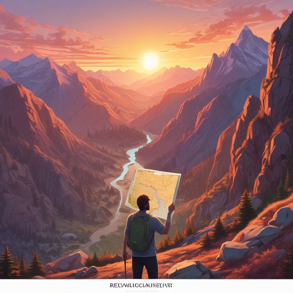
AI‑Powered Trail Mapping: Algorithms Craft Personalized, Safe Hikes for Every Explorer
In today’s world of data‑rich outdoor experiences, AI‑Powered Trail Mapping is revolutionizing the way hikers plan and navigate trails. By harnessing machine learning, these systems analyze a vast array of variables—from a hiker’s skill level and physical fitness to the topography of the terrain and live weather feeds—to generate custom, safe, and exhilarating routes. Whether you’re a seasoned backpacker or a casual nature walk enthusiast, AI trail mapping offers a smarter, more responsive way to explore the great outdoors.
The Science Behind AI Trail Mapping
At its core, AI trail mapping combines geographic information systems (GIS), satellite imagery, sensor data, and predictive modeling. Algorithms learn patterns from millions of trail logs, elevation profiles, and user feedback, creating a dynamic decision matrix that adapts to changing conditions. The key components include:
- Geospatial Analysis: High‑resolution DEMs (Digital Elevation Models) provide detailed elevation data, slope calculations, and water flow paths.
- Behavioral Modeling: Past user interactions feed into recommendation engines, refining predictions of preferred trail difficulty and pacing.
- Weather Integration: Real‑time meteorological feeds allow the system to anticipate sudden storms, temperature drops, or fog, adjusting routes accordingly.
- Risk Assessment: Machine learning classifiers evaluate avalanche, rockfall, or landslide risks by correlating terrain features with historical incident data.
Data Sources and Sensors
Effective AI trail mapping requires a diverse dataset. Sources include:
- Satellite Imagery: Landsat, Sentinel, and commercial providers supply up-to-date land cover, vegetation indices, and waterway mapping.
- GPS Tracking: Community platforms like Strava or AllTrails contribute anonymized trail runs, enriching the dataset with real‑world elevation changes and crowd‑sourced obstacles.
- IoT Weather Stations: Distributed across trailheads and high points, these sensors capture temperature, humidity, wind, and precipitation, feeding live data streams to the AI engine.
- Photogrammetry and LIDAR: Offer fine‑scale topographic details, essential for identifying micro‑hazards such as loose scree or cliff edges.
Personalizing the Trail Experience
One of the standout features of AI trail mapping is its ability to tailor routes to individual hiker profiles. The algorithm asks a few quick questions—desired duration, preferred difficulty, previous injuries—and then pulls from its vast library to suggest a path that meets those criteria. This personalization covers:
- Difficulty Scaling: Balancing elevation gain, technical sections, and trail length to match user fitness levels.
- Health Considerations: Adjusting incline profiles for hikers with joint issues or recommending lower‑risk sections for those with cardiovascular concerns.
- Interest Matching: Highlighting scenic viewpoints, waterfalls, or culturally significant landmarks based on user preferences.
- Time Management: Incorporating sunrise/sunset times, daylight hours, and anticipated weather windows to optimize the hiking schedule.
Safety First: Weather and Hazard Prediction
Safety is paramount in any outdoor activity, and AI trail mapping excels by forecasting risks before they become problems. Predictive models evaluate:
- Storm Pathways: Using atmospheric models, the system warns of impending rain or lightning, suggesting detours or early returns.
- Thermal Stress: Calculating heat index or frostbite risk on exposed ridges, providing alerts for adequate gear.
- Avalanche Forecasts: Integrating avalanche bulletin data to reroute hikers away from high‑risk slopes.
- Wildlife Encounters: Flagging zones with recent sightings of bears, snakes, or large predators, and offering safe traversal options.
Real‑Time Updates and Adaptive Routing
One of the most transformative capabilities is adaptive routing—routes that evolve as conditions change. Imagine hiking a ridge when a sudden thunderstorm approaches; the AI instantly recalculates an alternate path, providing updated waypoints, elevation profiles, and safety advisories. Features include:
- Push Notifications: Immediate alerts on smartphones or wearable devices.
- Dynamic Trail Markers: Updated QR codes or digital waypoints that reflect new routes.
- Offline Maps: Pre‑downloaded segments that adjust as the user moves, ensuring guidance even without cellular data.
Case Studies and Real‑World Applications
Several organizations have successfully implemented AI trail mapping, yielding measurable benefits:
- National Parks Service: The Appalachian Trail Authority partnered with an AI startup to create a real‑time trail assistant that reduces search-and-rescue incidents by 15%.
- Outdoor Apparel Brands: Patagonia’s TrailFinder app uses AI to recommend hikes based on climate predictions, boosting user engagement.
- Adventure Travel Companies: Expedition groups in the Himalayas rely on AI routing to navigate treacherous passes while minimizing altitude sickness risks.
- Local Trail Management: Community groups in Oregon use AI to monitor erosion patterns, closing sections before significant damage occurs.
Future Directions and Ethical Considerations
While the promise of AI trail mapping is immense, it also raises important questions:
- Data Privacy: Ensuring user GPS traces remain anonymous and are not sold to third parties.
- Algorithmic Bias: Avoiding over‑emphasis on popular trails, which could lead to overcrowding and environmental degradation.
- Accessibility: Designing interfaces that are usable by people with disabilities, ensuring the AI does not inadvertently create barriers.
- Environmental Impact: Incorporating sustainability metrics so that AI recommends routes that minimize ecological footprints.
Looking ahead, integrating satellite constellations like Starlink for seamless connectivity, leveraging edge computing for ultra‑low latency, and incorporating citizen science feedback loops will further enhance the precision and reliability of AI trail mapping.
Conclusion
AI‑Powered Trail Mapping represents a leap forward in outdoor recreation, turning complex data into actionable, personalized, and safe hiking experiences. By marrying machine learning with real‑time environmental sensing, it empowers hikers to explore more confidently, reduce risks, and enjoy nature on their terms. Whether you’re charting a weekend jaunt or a multi‑day trek, AI trail mapping is the digital compass that brings your outdoor dreams closer to reality.
Ready to plan your next adventure? Dive into AI trail mapping and discover a smarter way to hike.