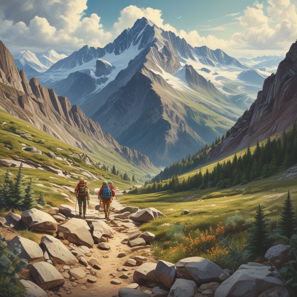
Skybridges—newly mapped high-altitude ridge routes—are thrilling corridors that offer raw exposure, sweeping views, and a sense of discovery beyond crowded trails. If you’re considering a skybridge, this field-tested guide will help you plan smart, travel safely, and leave fragile alpine ecosystems intact while enjoying these remarkable ridgelines.
What Are Skybridges and Why They Matter
Skybridges, or high-altitude ridge routes, are narrow, often technical ridgelines that connect summits, cols, or glacial shoulders. These routes are increasingly being mapped by climbers, mountaineers, and route-finders using GPS and high-resolution satellite imagery. They offer unique, low-traffic experiences but also expose hikers to severe weather, steep exposure, and sensitive habitats.
Field-Tested Planning Checklist
Preparation is everything on a skybridge. Use this checklist to reduce objective risk and ecological impact.
Route Research
- Study topographical maps and recent trip reports—look for route beta, objective hazards, and seasonal variations.
- Download offline maps and track files (GPX) and verify waypoints with multiple sources.
- Confirm access and permit requirements; many alpine zones have seasonal closures to protect wildlife or reduce avalanche hazard.
Weather and Timing
- Check multiple forecast models (local mountain forecasts, wind, and convective indices) for the 48–72 hour window.
- Start early—most ridges are safest in stable, early-morning conditions before afternoon thermals or storms develop.
Essential Gear
- Navigation: GPS device with GPX, map, altimeter, and compass.
- Protection: Helmet, lightweight harness, 30–50 m rope (for groups), slings, prusiks, and a small trad rack if the route demands.
- Clothing: Layering system, wind shell, insulated layer, and gloves suitable for sudden exposure.
- Other: Headlamp, first-aid kit, emergency bivy, extra food/water, and a satellite communicator or PLB for remote rescue.
Safety Techniques for Ridge Travel
Ridge travel requires a blend of alpine skills and conservative judgment. These field-tested techniques lower exposure-related accidents.
Group Management
- Keep groups small (3–5 recommended) to minimize rope management complexity and ecological impact.
- Assign an experienced leader and establish clear decision thresholds (turn-around times, weather signs, and objective hazard limits).
Rope and Protection Strategies
- On exposed sections, consider short-roping or moving with a tied-in rope team; know how to belay and rappel under load.
- Use natural anchors and equalize webbing; minimize placement of intrusive bolts unless part of established management plans.
Managing Exposure and Micro-Route Finding
- Stick to the crest when possible—it’s often more stable and avoids fragile alpine vegetation on the flanks.
- Practice mantel moves, chimney exits, and careful downclimbing; consider simul-climbing only with skilled partners and stable rock.
Protecting Fragile Alpine Ecosystems
Alpine environments are slow to recover from disturbance. Travelers on skybridges must be stewards as much as explorers.
Minimize Footprint
- Stay on durable surfaces—rock, scree, and existing boot paths—rather than on vegetated ledges where cushion plants dominate.
- Avoid widening routes: single-file travel and spread-out stopping points reduce trampling.
Wildlife and Nesting Areas
- Respect seasonal closures for nesting raptors or breeding mammals; approach quietly and keep pets leashed or at home.
- Report sensitive wildlife sightings to local land managers to inform routing and seasonal protection.
Waste and Human Impact
- Pack out all waste, including hygiene products and toilet paper; use wag bags where required or pack out solid human waste in very high-use or fragile areas.
- Avoid hammering fixed protection or placing permanent anchors unless explicitly permitted by route stewards.
Emergency Preparedness and Communication
Remote ridgelines can turn serious quickly; a clear emergency plan saves lives.
- Carry a satellite communicator or PLB and practice using it before the trip; cell service is unreliable at high altitude.
- Share your detailed plan and expected check-in times with a trusted contact and local rangers if appropriate.
- Know self-rescue basics: improvised anchors, lowering systems, and how to shelter overnight if forced to bivy.
Sample Day Plan for a Moderate Skybridge
Here’s a concise timeline for a typical 10–12 hour ridge day with objective exposure.
- 03:30 — Wake, gear check, and light breakfast.
- 04:30 — Approach from trailhead; move efficiently to the ridge base.
- 06:00 — Begin ridge: conservative pacing, regular short breaks, and ongoing route-finding.
- 10:30 — Summit or midpoint turnaround window; evaluate weather and group condition.
- 12:00–16:00 — Descend and return; aim to be off exposed ridgelines well before any afternoon lightning risk.
Reporting New Routes and Ethical Exploration
When mapping or publishing new skybridges, balance sharing beta with protecting fragile areas.
- Use neutral, non-specific descriptions for very sensitive terrain that may attract high traffic.
- Coordinate with local alpine clubs and land managers before publishing detailed GPX files in high-sensitivity zones.
- When sharing beta, include strong ethics guidance: leave-no-trace, seasonal closure notices, and recommended group sizes.
Skybridges and newly mapped high-altitude ridge routes offer remarkable adventures for skilled, prepared, and respectful travelers. By planning thoroughly, practicing conservative safety techniques, and stewarding fragile alpine ecosystems, explorers can enjoy these rare corridors while ensuring they remain wild for future generations.
Ready to plan your next ridge day? Start with thorough research, trusted partners, and respect for the mountains—then go see what the skybridges reveal.