Route Revival is a practical approach to discovering, connecting, and responsibly traveling lesser-known day hikes and micro-camps by car, turning forgotten backpacking trails into unforgettable, low-impact road-trip itineraries. If you crave authentic time in wild places without committing to multi-day carries, this guide shows how to find hidden trails, link them into a scenic loop, and travel with a light footprint.
Why resurrect forgotten trails?
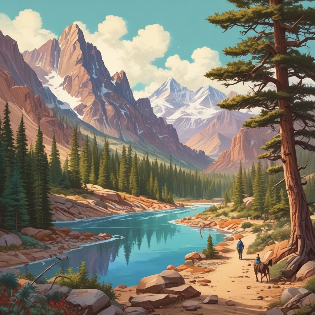
Overlooked routes offer solitude, intact ecosystems, and a sense of discovery that busy, popular trails often lack. Stitching short hikes and micro-camps into a road trip lets you sample diverse terrain—alpine ridges one day, river canyons the next—without hauling a heavy pack for days on end. It’s a great option for families, weekenders, and anyone who wants deep nature time with flexible logistics.
How to discover the trails
1. Combine mapping tools and local knowledge
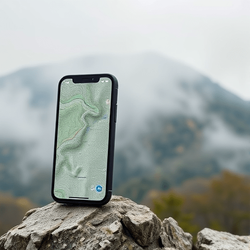
- Use OpenStreetMap, Gaia GPS, and USGS topo layers to spot faint contour lines and old trail segments that don’t appear on tourist maps.
- Search regional forest service maps, historical topo maps, and digitized guidebooks—these often show legacy trails and logging roads that have become recreational routes.
- Ask local outdoor shops, ranger stations, and trail forums—anglers, hunters, and long-time locals often know the quiet paths that guidebooks miss.
2. Look for clues on satellite imagery
Satellite view can reveal narrow clearings, fence-lines, or worn vegetation corridors that hint at a path. Small parking pullouts and gate entrances on backroads are often the best indicators of access points for lesser-known day hikes and micro-camps.
Planning a stitched itinerary
Successful Route Revival itineraries balance driving time, hike length, and the variety of scenery. Aim for 2–4 short to moderate hikes per 3–5 day loop, with predictable driving between them and one flexible “wildcard” stop for weather or mood changes.
Step-by-step planning checklist
- Identify a geographic region and draw a rough loop using major county roads and scenic byways.
- Pin 6–10 candidate trailheads within a 2–3 hour drive of each other; prioritize those with legal roadside parking or known pullouts.
- Estimate hike durations (2–6 hours) and micro-camp spots (flat, durable surfaces, legal to camp).
- Build a day-by-day plan with buffer time for unexpected detours, wildlife viewing, or extended summit sessions.
- Pre-check seasonal closures, permitted roads, and fire restrictions with land managers.
Micro-camping by car—practical, legal, and low-impact
Micro-camping (short, minimalist night stops very near trailheads or at discreet pullouts) lets you sleep close to adventure without heavy packs. To keep this practice sustainable and legal, follow these ground rules:
- Camp only where allowed—use designated car-camping sites, dispersed camping areas, or private lands with permission.
- Use durable surfaces: gravel pullouts, previously disturbed ground, or established campsites; avoid fragile vegetation and meadows.
- Keep group sizes small and limit campfires to established fire rings when allowed; prefer a camp stove for cooking.
- Pack out all waste, including toilet paper and food scraps; carry a small trowel and use catholes 6–8 inches deep if no restroom is available and it’s permitted.
Gear and vehicle setup for Route Revival
Prioritize comfort, flexibility, and low weight so you can move easily between hikes and campsites.
- Compact shelter options: a lightweight tarp or one-person tent that packs small and sets up on varied surfaces.
- Sleeping: insulated sleeping pad and quilt/lightweight sleeping bag rated for expected temps.
- Cooking: small canister stove, a single pot, and a reusable water filter.
- Vehicle prep: roof racks or rear storage that keep gear organized; tire repair kit, extra water, and a paper topo map as a backup.
- Leave No Trace kit: small trash bag, trowel, hand sanitizer, and biodegradable soap for washing at least 200 feet from water.
Sample two-day stitched itinerary (example)
Region: High-desert foothills with hidden riparian canyons
- Day 1 morning: Short canyon hike (3–4 miles) to a secluded waterfall; picnic and birdwatching.
- Day 1 afternoon: Drive 45 minutes to a ridge trail for golden-hour views (2–3 miles). Micro-camp at a legal dispersed site near the trailhead.
- Day 2 morning: Dawn ridge walk for sunrise photography (1–2 miles), then drive to a veteran’s trail leading to a wildflower meadow (4–5 miles) before heading home.
Safety and seasonal considerations
Weather, road conditions, and fire seasons can dramatically alter access. Always:
- Check recent trip reports and local ranger advisories the day before travel.
- Carry an emergency communication device if cell service is unreliable (satellite messenger or PLB).
- Leave an itinerary with a trusted contact and set expected check-in times.
Ethics and stewardship
Route Revival is as much about preservation as exploration. When reviving and using forgotten trails:
- Respect private property and posted closures—many lesser-known trails cross sensitive lands.
- Report significant erosion, unsafe trail conditions, or illegal dumping to land managers so these resources can be maintained.
- Consider volunteering with local trail crews to help repair the very routes you enjoy.
Tools and resources
- Mapping: OpenStreetMap, Gaia GPS, CalTopo—overlay historic maps and forest service layers for clues.
- Community intel: regional hiking forums, Facebook groups, and AllTrails for recent photos and trip notes.
- Permits and closures: National Forest, BLM, and state park websites.
Stitching forgotten backpacking trails into an epic road trip is an art of mapping, modest ambition, and respect. With careful planning, a minimalist kit, and Leave No Trace ethics, Route Revival yields solitude, variety, and memorable micro-camps that feel like true wilderness without the logistics of a long thru-hike.
Ready to revive a route of your own? Chart a small loop, scout one forgotten trail this weekend, and share stewarded trail reports with your local land manager.