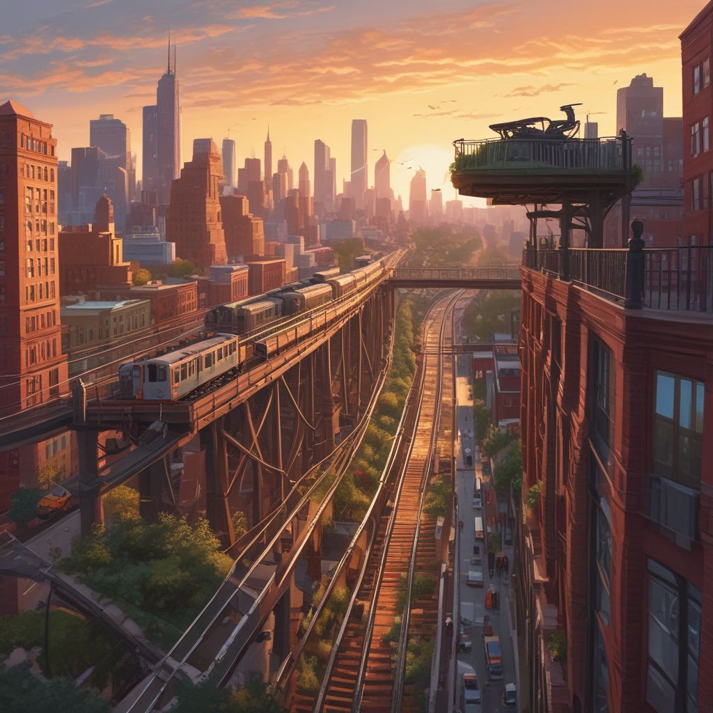
The phrase “Forgotten Highlines” evokes a particular kind of urban magic: long-forgotten steel and stone repurposed into narrow parks, secret skywalks, and abandoned railbeds that slice above the cityscape. This guide blends practical self-guided routes, short histories, and the best sunrise and sunset vantage points so you can experience these elevated corridors with care, curiosity, and camera-ready timing.
Why Forgotten Highlines Matter
Elevated parks and disused railways tell stories about a city’s industrial past, its changing priorities, and the creative ways communities reclaim space. Once arteries for freight and commuters, many highlines were abandoned and left to rust—until walkers, artists, and planners recognized their potential as scenic linear parks and pedestrian connectors. Exploring them gives a unique vantage on urban layers, from rooftops to hidden facades and unexpected green pockets.
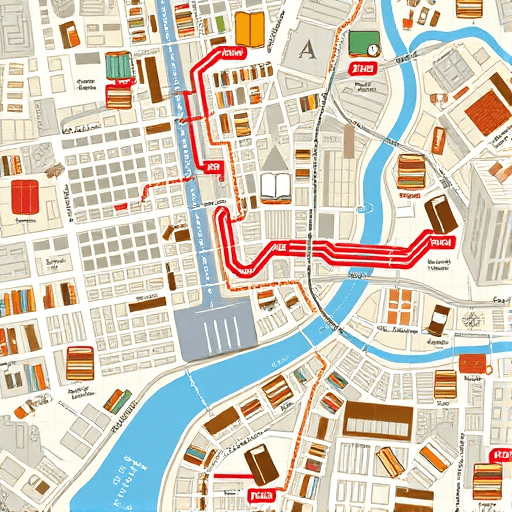
Planning a Self-Guided Route
Self-guided exploration lets you move at your own pace, pause for light, and tailor sunrise or sunset stops. Use these practical steps to plan a day (or a few hours) on a forgotten highline.
- Research before you go: Look for local urban-exploration blogs, municipal trail maps, and satellite views to confirm access points and legal public access.
- Time your visit: Aim for magic hours—30–60 minutes before sunrise or the hour after sunset—to capture dramatic light. Weekdays are usually quieter.
- Pack smart: Bring a headlamp, sturdy shoes, water, a lightweight tripod for long-exposure shots, and a small first-aid kit.
- Respect rules and safety: Many elevated structures cross private property; stay on designated paths, obey signage, and never climb fences or barriers.
- Download offline maps: Cellular coverage can be spotty between buildings—save screenshots of your route and key waypoints.
Three Signature Self-Guided Routes (City-Neutral Templates)
1. The Industrial Loop — for history lovers
Start at an old freight depot or former rail yard, follow the raised bed that hugs warehouses, and finish at a riverside overlook. Look for interpretive plaques or murals that trace the line’s freight-era past.
- Key stops: old signal boxes, iron viaduct spans, converted loading docks
- Best light: sunrise through the trusses for long silhouettes
2. The Garden Splice — for urban botanists and photographers
Seek a disused rail turned greenway, where volunteers have planted native shrubs and wildflowers. Walk slowly—seasonal blooms and pollinator activity make this route alive at golden hour.
- Key stops: pocket meadows, art installations, community gardens
- Best light: late-afternoon warmth that saturates foliage
3. The Skyline Walk — for sunset panoramas
Choose a skywalk or elevated promenade that crosses multiple neighborhoods. Plan several short stops for changing angles on the skyline; elevated vantage points yield layered compositions with water, towers, and street grids below.
- Key stops: mid-span viewpoints, stair towers, rooftop cafes (if public)
- Best light: sunset, staying through blue hour for city lights
Short Histories to Look For
Knowing a little history transforms a walk into a narrative. Watch for these common highline backstories:
- Rail-to-trail conversions: Former freight lines that became linear parks through community action and municipal investment.
- Interim abandonment: Structures left unused after shifts in industry—often prime sites for guerrilla gardening and street art.
- Skybridge networks: Pedestrian systems built to link office towers and transit hubs, now quiet after off-hours.
Check local archives or historical societies online before your trip; many highlines have old maps and photographs that are fascinating to compare with what you see on-site.
Best Sunrise and Sunset Vantage Tips
Timing and positioning make all the difference when shooting or simply savoring light above a city.
- Sunrise: Face east across open spans or toward low-lying industrial skylines; the backlight through trusses creates dramatic rim light for silhouettes.
- Sunset: Aim for west-facing overpasses or skywalks that frame the skyline; include foreground elements (rail ties, railings, plants) for depth.
- Weather: Clear mornings give crisp silhouettes; thin clouds at sunset produce painterly color. Check wind—exposed highlines can be chilly and gusty.
- Composition: Use leading lines—rails, fences, shadows—to draw the eye; try low-angle shots that emphasize the elevated perspective.
Photography and Etiquette
Many forgotten highlines are beloved by nearby communities. Photograph respectfully:
- Always ask permission when photographing people or private property visible from the line.
- Leave no trace—pack out any trash and avoid trampling vegetation.
- If a site is marked private or unsafe, do not enter; instead, photograph from public viewpoints or street-level approaches.
Safety Checklist
Before stepping onto an elevated route, run this quick checklist:
- Phone charged and offline map saved
- Weather checked and appropriate clothing
- Knowledge of nearest public exits and transit stops
- Companion or shared itinerary—tell someone where you’ll be and when you’ll return
Putting It All Together: Sample Half-Day Plan
Choose a route template above, research local entry points, and follow this schedule for an early-evening adventure:
- 4:30 PM — Arrive at access point, scout composition options
- 5:15 PM — Walk the highline, stopping every 10–15 minutes to photograph or journal
- 6:00 PM — Reach sunset vantage, set up tripod 30–45 minutes before sunset
- 6:45 PM — Sunset and blue hour; head back via a different exit to experience new views
This rhythm balances exploration and deliberate observation—perfect for capturing the highline’s story in light and texture.
Forgotten highlines offer an elevated way to understand the city: part history lesson, part outdoor gallery, and all perspective-shifting. With thoughtful planning, you can enjoy beautiful light, quiet passages, and a living connection to the urban past without leaving a trace.
Ready to map your first Forgotten Highlines route and catch the perfect sunrise or sunset? Plan your route, pack light, and share your best shots with a local community group.